When the Common Ground Research Forum launched early in 2009, one of our first tasks was to develop a visual identity for the project. Our logo had to encapsulate the project themes of cross-cultural collaboration, place-based learning and knowledge transfer, and building capacity for regional sustainable economic development. The turtle logo reflects the guidance and input from Anishinaabe elders and Common Ground Research Forum members. Roll your cursor over different parts of the logo to read more about the evolution of the logo and the meaning of its symbols.
In November 2009, CGRF Executive member Adolphus Cameron facilitated and translated a meeting with Elders Clifford Skead (Wauzhushk Onigum Nation) and Alice Kelly (Ochiichagwe’babigo’ining Ojibway Nation). Elder Phyllis Shaugabey (Obashkaandagaang First Nation) was unable to attend this initial meeting, but was consulted for feedback following the logo development. The intent of this meeting was to consult with Elders about appropriate symbols to represent the project themes, and to hear Anishinaabe perspectives on the Common Ground concept.
Clifford Skead shared oral histories of his peoples’ long use of Tunnel Island or “Ka ga pe ke che, a place to stay over”. He told us of modern day camping and trading on Tunnel Island. He also spoke of historic raiding parties of Sioux warriors moving through this place, and the emergence of a peace pipe and drum carried by him to this day. He told us of women giving birth on this Island, and of children residing here, too. He summarized by expressing that this place, though not a spiritually sacred site, does have a rich and long history as a crossroads of human activity in the region.
To reflect the marriage of ancient and modern human activity in this place, the logo employs a pictograph-like representation of a snapping turtle and contrasts this with a very modern typeface.
When asked about appropriate symbols to depict our project themes, elders Clifford Skead and Alice Kelly concurred that the snapping turtle, with its ability to live on land and in water, is the appropriate animal to represent duality, or in this case two cultures living side-by-side and learning from one another. In our logo, the crawling snapping turtle also represents animal life and forward motion.
Elder Alice Kelly stressed the importance of including an offering of sage or sweetgrass in the forepaw of the turtle. This is an offering of respect to those who have passed through the Common Ground, as well as those who have passed on to the Spirit World.
The Elders agreed that creating a central shell tile in the shape of Tunnel Island would be the best way to depict the project’s association with this piece of land. The island silhouette is coloured an earthy red to match the CGRF title, and to represent the earth.
The green tile in the turtle’s shell represents plant life, creativity and growth.
The blue tiles in the turtle’s shell represent water, which surrounds Tunnel Island. The Island’s placement at the mouth of the Winnipeg River, where the Lake of the Woods drains, contributes to the site’s value as a crossroads of human activity for millennia. In our logo, there are two water tiles, representing the Lake of the Woods and the Winnipeg River. In Anishinaabe tradition, women are the keepers of water and wisdom about water; water represents the spirit of women and grandmothers.
The tiles in different shades of browns, grey, and yellow represent people of different races, colours and ancestry sharing space on Turtle Island.
The outermost ring of tiles that make up the turtle’s shell represent the granite rocks that make up the Precambrian Shield, and more specifically, the rocks of Tunnel Island. The rocks of Tunnel Island represent a very poignant lesson in cross-cultural awareness and understanding, and provide one of the first, and most dramatic teachings that will emerge through the Common Ground initiative.
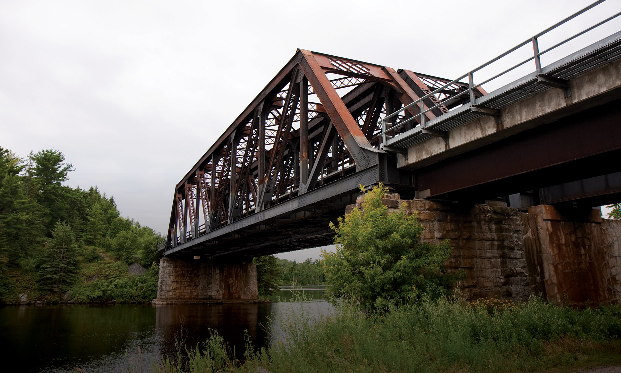
In historic times, the narrow channel between Tunnel Island and Norman was a deep, v-shaped clef in the rock, criss-crossed with several underwater granite walls that created a series of unpredictable, lively rapids. As one of the only outlets for the Lake of the Woods, water boiled through this site, making navigation of the tight hair-pin turns and rapids treacherous. A few hundred meters downstream, the River plunged over 20 vertical feet at the first of seven major sets of falls between the mouth and outflow of the Winnipeg River at Lake Winnipeg.
It is perhaps not surprising, then, that at this place where so many travelers might have met their demise, local Anishinaabeg recognized a place of offering. In Anishinaabe tradition, these rocks house the spirits of the grandfathers. The rocks at the mouth of the Winnipeg River around Tunnel Island were not only important way-markers, but also spiritual places for local Anishinaabeg. Along the shores, passersby would connect with the spirits of their wise grandfathers and leave offerings.
In 1906, at the site of those first major falls on the Winnipeg River, construction began on the Norman Power Dam (over the past century, all seven sets of falls have been converted into major hydroelectric dams in Ontario and Manitoba). Construction had to be halted by 1908, however, when regulation of the water flow through the dam, and the subsequent fluctuations to the level of the Lake of the Woods became an issue. Because the channel leading from the Lake to the Norman Dam was so steep and narrow, it was nearly impossible to regulate the flow of water through the dam without causing massive flooding upstream. This flooding then led to rising levels for the whole Lake of the Woods, and in the early 1900’s, caused the flooding of farm land on the south shore of the Lake in Minnesota.
Irate Minnesota farmers called on the governments of Canada and the United States to do something about this situation. After many years of cross-border legal wrangling through the International Joint Commission, the Lake of the Woods Control Board was conceived. This is the body which to this day regulates the level of Lake of the Woods by controlling the rate of flow of water through the various dams on the Winnipeg River, including the Norman Dam and the Kenora Powerhouse to the east of Tunnel Island.
As part of the remediation plan to improve the flow and control of water leading to the Norman Dam, a major infrastructure project was undertaken in the mid-1920’s. A rollaway dam was constructed to block off the Lake of the Woods and to effectively drain the Winnipeg River. The rollaway dam stretched across the mouth of the Winnipeg River from the southwestern tip of the “Abitibi Staff House” property (currently, the site of the Headwaters Condo development), across to Norman (approximately the end of current-day Colonization Road).
Over an 18-month period from early 1925 to late 1926, dynamite crews blasted away the underwater rocky shoals and shoulders of the riverbed. Shot rock was used to build up a railroad bed that allowed steam engines and other heavy equipment access to this and the Norman Dam construction sites. This road bed remains today as the causeway portion of the Tunnel Island walking trail, running along the eastern shore of the River and under the railroad bridge. It separates off a small lagoon that once would have been an eddy in the rapidly churning Winnipeg River.
The channel was widened, flattened, and opened up so that water could flow easily through the now broad, u-shaped channel between Tunnel Island and Norman. Now, when the Norman Dam is closed, much more water can back up in this widened reservoir area without flooding the Lake of the Woods.
Not all residents have welcomed the legacy of this industrial enterprise, however. Those shot rocks on which we now walk represent, to the Anishinaabeg, the spirits of their grandfathers, blown to the four winds. Gone are the sites of prayerful offering, the way-markers, and the capricious rapids that gave life to the River. Instead, through modern times, the Elders spoke of the River as being “lifeless”, the Grandfathers missing and uprooted.
Yet, through the recent Common Ground movement, healing has begun. In a lengthy ceremony at the Common Ground spring feast in May 2009, Elders beat on the Wassay Gezhig Drum and were able to reconnect with the spirits of those lost grandfathers. Their spirits blessed the place, and offered forth a Thunderbird feather, a drum, and a ceremonial name for the place, “Wassay Gaa Bo”. With each feast and traditional ceremony held on this place, the strength of the Grandfathers increases and the healing grows.